#WTLCIndyNews: Cold Temps And Snow Causes School Closures/Delays In Southern Metro Area

 Not much more snow is expected around Indy’s metro area today. Nor is much more expected in the counties to the immediate South after the fresh powder that fell on the area Tuesday night. However that new snowfall on top of what was already on the ground, coupled with Wednesday’s blistery cold temps, is enough to cause school delays and some closures in the hardest hit areas in our southern listening area–southern Marion County, Johnson County and beyond.
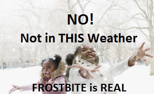
The roads are slick and Wednesday is expected to be very cold–easy frostbite kind of cold. The high is only expected to reach 13 degrees, with wind chills bringing it down to a range of five-to-15 degrees below zero. Prepare to bundle your children up and yourself if you have to head out today. A wind chill advisory will go into effect at 10 a.m. Tonight and Thursday are expected to be colder. The highs tomorrow will reach only into the single digits.
Check out the school closure and delay list HERE.
(This is the kind of weather where you might leave a drip on in your sinks to protect your pipes and check in on the elderly.)
### ( @1067wtlc ) ###
 kimwellsmedia 021815
Follow me on Twitter @kwellscomm.


